• Home
  • Our Adventures
    • Death Valley >
      • Artist Drive, Death Valley
      • Badwater, Death Valley
      • Ballarat Ghost Town, Death Valley
      • Broken Pick mine, Death Valley
      • Charcoal Kilns, Death Valley
      • Charles Manson Hide Out Barker Ranch, Death Valley
      • Chloride Cliffs, Death Valley
      • Corona Mine, Death Valley
      • Crater Sulfur Mine, Death Valley
      • Devils Golf Course, Death Valley
      • Geologist Cabin, Death Valley
      • Harmony Borax works, Death Valley
      • Ibex Springs Talc Mine, Death Valley
      • Inyo Mine, Death Valley
      • Keane Wonder Mine, Death Valley
      • Keystone Mine, Death Valley
      • Lost Burro Mine, Death Valley
      • Marble Bath, Death Valley
      • Mesquite Flat Sand Dunes, Death Valley
      • Morning Glory Mine Camp, Death Valley
      • Racetrack, Death Valley
      • Rhyolite, Nevada
      • Russell Camp, Death Valley
      • Ryan, Death Valley
      • Scotty's Castle, Death Valley
      • Skidoo Ghost Town, Death Valley
      • Stella's - Mengel Cabin, Death Valley
      • Teakettle Junction, Death Valley
      • Titus Canyon, Death Valley
      • Ubehebe Crater, Death Valley
      • Warm Springs, Death Valley
      • Zabriskie Point, Death Valley
    • California Gold Country >
      • Alleghany, California
      • Big Springs, highway 49
      • Downieville, California
      • Forest City
      • Kenton Mine
      • Kentucky Mine and Museum
      • Love Falls Yuba River
      • Mountain House Henness Pass
      • Oregon Creek Covered Bridge
      • Poker Flat
      • Sierra Buttes Mine
      • Sierra City, Ca
      • Young America Mine
  • Story Blog
  • Our Company
  • Support
  Welcome to Backcountry Explorers

Badwater


Badwater, Death Valley

 GPS: 36.250278, -116.825833 

Bawater salt flats with mountains in background
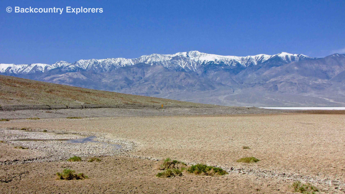
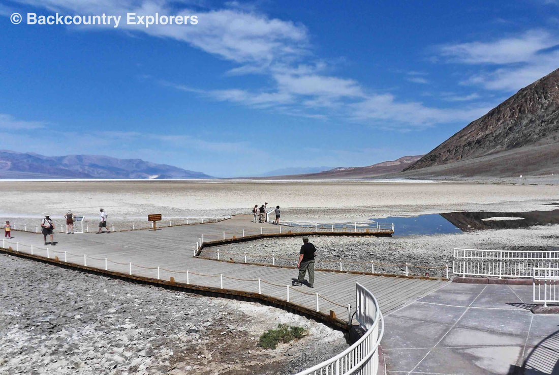
Badwater Basin is an endorheic basin in Death Valley noted as the lowest point in North America, with a depth of 282 ft below sea level. Mount Whitney, the highest point in the contiguous 48 United States, is only 84.6 miles to the Northwest.

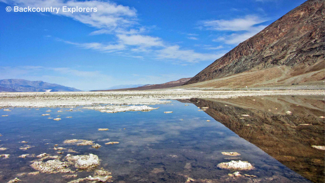
The site itself consists of a small spring-fed pool of "bad water" next to the road in a sink; the accumulated salts of the surrounding basin make it undrinkable, thus giving it the name. The pool does have animal and plant life, including pickleweed, aquatic insects, and the Badwater snail.

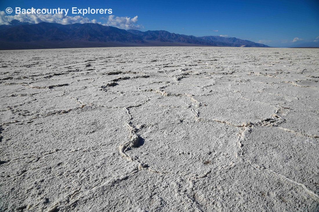
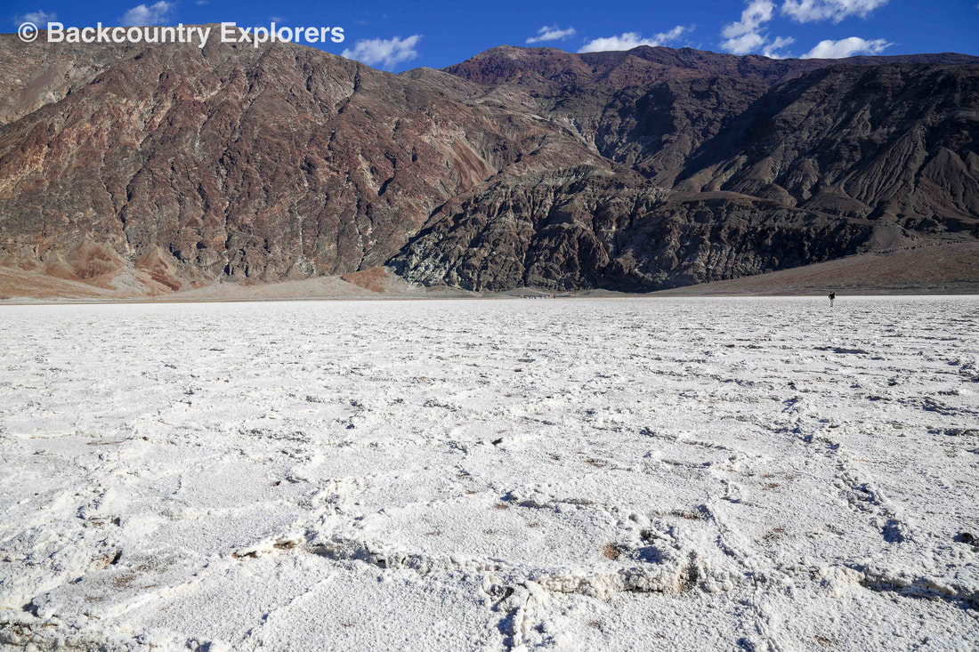
Adjacent to the pool, where water is not always present at the surface, repeated freeze–thaw and evaporation cycles gradually push the thin salt crust into hexagonal honeycomb shapes.

At Badwater Basin, significant rainstorms flood the valley bottom periodically, covering the salt pan with a thin sheet of standing water. Newly formed lakes do not last long though, because the 1.9 in of average rainfall is overwhelmed by a 150 in annual evaporation rate. This is the greatest evaporation potential in the United States, meaning that a 12 ft lake could dry up in a single year. When the basin is flooded, some of the salt is dissolved; it is redeposited as clean crystals when the water evaporates.

A popular site for tourists is the sign marking "sea level" on the cliff above the Badwater Basin.


This text taken in part from Badwater Basin by Stan Shebs and is licensed under Creative Commons Attribution-ShareAlike License

Badwater reflecting mountain in background
Bawwater looking to snow capped mountains in the West
Looking across the salt flats at the mountains
Badwater looking across walkways with people walking
Sea level sign on side of the mountain
Lone coyote on the Badwater salt flats
Death Valley National Park (National Geographic Trails Illustrated Map)


Exploration

Death Valley
Gold Country

Eastern Sierras / 395
Anza Borrego
Route 66
Western Mojave Desert
Mojave National Preserve
Arizona
Colorado
Utah
Nevada

Our Company

About us
Contact us

Support

Site Map
Links
FAQ
Terms of Use
Copyright  ©  2015  Laymon International LLC   21143 Hawthorne Blvd. #418 Torrance, Ca 90503 
  • Home
  • Our Adventures
    • Death Valley >
      • Artist Drive, Death Valley
      • Badwater, Death Valley
      • Ballarat Ghost Town, Death Valley
      • Broken Pick mine, Death Valley
      • Charcoal Kilns, Death Valley
      • Charles Manson Hide Out Barker Ranch, Death Valley
      • Chloride Cliffs, Death Valley
      • Corona Mine, Death Valley
      • Crater Sulfur Mine, Death Valley
      • Devils Golf Course, Death Valley
      • Geologist Cabin, Death Valley
      • Harmony Borax works, Death Valley
      • Ibex Springs Talc Mine, Death Valley
      • Inyo Mine, Death Valley
      • Keane Wonder Mine, Death Valley
      • Keystone Mine, Death Valley
      • Lost Burro Mine, Death Valley
      • Marble Bath, Death Valley
      • Mesquite Flat Sand Dunes, Death Valley
      • Morning Glory Mine Camp, Death Valley
      • Racetrack, Death Valley
      • Rhyolite, Nevada
      • Russell Camp, Death Valley
      • Ryan, Death Valley
      • Scotty's Castle, Death Valley
      • Skidoo Ghost Town, Death Valley
      • Stella's - Mengel Cabin, Death Valley
      • Teakettle Junction, Death Valley
      • Titus Canyon, Death Valley
      • Ubehebe Crater, Death Valley
      • Warm Springs, Death Valley
      • Zabriskie Point, Death Valley
    • California Gold Country >
      • Alleghany, California
      • Big Springs, highway 49
      • Downieville, California
      • Forest City
      • Kenton Mine
      • Kentucky Mine and Museum
      • Love Falls Yuba River
      • Mountain House Henness Pass
      • Oregon Creek Covered Bridge
      • Poker Flat
      • Sierra Buttes Mine
      • Sierra City, Ca
      • Young America Mine
  • Story Blog
  • Our Company
  • Support